South Central Alabama Streets
Historical Streets of South Central Alabama as displayed through the Traveling Exhibits
Postcards showcased on the Traveling Exhibits
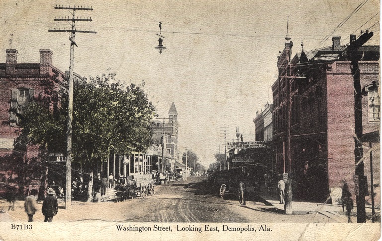
Demopolis - Washington Street
Demopolis is the largest city in Marengo County. The town was settled in 1817 by French exiles who thought olive trees and grape vines would flourish in the area. The settlement was named Demopolis, which is Greek for “city of the people,” but it was known as the Vine and Olive Colony. It is one of the oldest continuous settlements in Alabama and was incorporated in 1821. The area retains the French influence in the names of streets such as Desnouettes and Herbert and the county name of Marengo. This is a colorized postcard of the business district in the early 1900s.

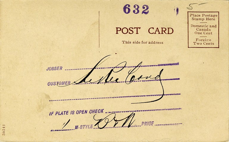
Transcription
Oct 10' Dear [illegible]:- You can take all these cards and put them in your album. Dash me a line here or at Jackson Ala. Edwin Addressed to: Mrs. J. C. Perkins 2523 - 10th St. Tuscaloosa, Ala.
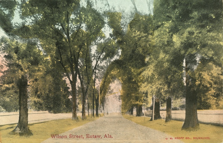
Eutaw - Wilson Street
Eutaw is the county seat of Greene County. It was settled in 1819, around the same time the county was created. It was originally known as Mesopotamia. In 1838, the county moved its seat of government from Erie to Eutaw and the city changed its name in honor of the Battle of Eutaw Springs, a decisive battle in the American Revolution. Eutaw was incorporated in 1841. This is an example of a residential street in Eutaw.
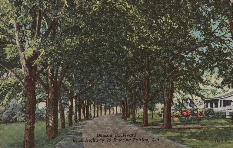
Fairfax (Valley) - Denson Boulevard
In the late 1860s, Langdale and Riverview were built on the banks of the Chattahoochee River in Chambers County. In the early 1900s, Shawmut and Fairfax were built. These were company-owned towns that provided workers and their families with schools, housing, recreational facilities, and other amenities. In 1980, these four mill towns became the City of Valley. This is a beautiful postcard of a residential area in Fairfax
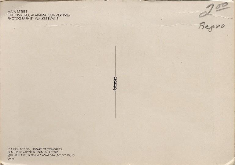
Greensboro - Main Street
Greensboro is the county seat of Hale County. The town has been known as Russell Settlement, Troy, and New Troy. It was incorporated in 1823 as Greensborough in honor of American Revolutionary War General Nathanael Greene. The name was soon simplified to Greensboro. This postcard shows Main Street, Greensboro in the 1930s.
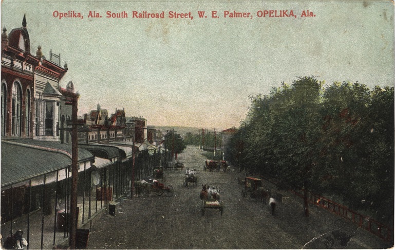
Opelika - South Railroad Street
Opelika first appeared on a map in 1733 as Opillako. It was originally settled as part of Russell County. However, after the Civil War, Lee County was created from portions of four other counties and Opelika was chosen as the county seat. Railroads spurred the rapid growth of Opelika and it was incorporated in 1854. At that time the town boundaries were described as “being one mile in every direction from the railroad station.” This postcard shows what the main street in Opelika looked like in the early 1900s.
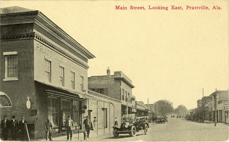
Prattville - Main Street
Prattville is located in Autauga and Elmore counties and is the county seat of Autauga County. It was founded in 1839 by industrialist and architect Daniel Pratt. He built the town and manufacturing facilities along the banks of the Autauga Creek so the water could supply power to the cotton gin manufacturing equipment. This depicts the business district of Prattville in the early 1900s.
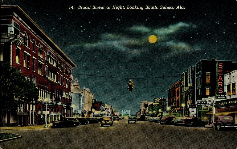
Selma - Broad Street
Selma is the county seat of Dallas County and was incorporated in 1820. It is located on a high bluff overlooking the Alabama River. The city was planned and named by William Rufus King. The name, meaning "high seat" or "throne,” came from the poem The Songs of Selma. This is a postcard of Broad Street, Selma in the 1940s.
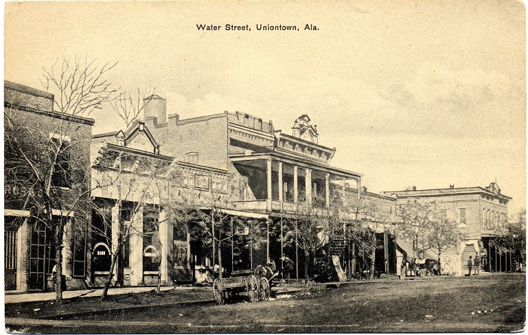
Uniontown - Water Street
Uniontown is a city in Perry County incorporated in 1836. It was settled in 1818 by the Wood family and was originally known as Woodville. The name was changed to Uniontown in 1861 at the suggestion of Philip Weaver, a local planter originally from Uniontown, Maryland. This postcard illustrates Uniontown in the early 1900s.